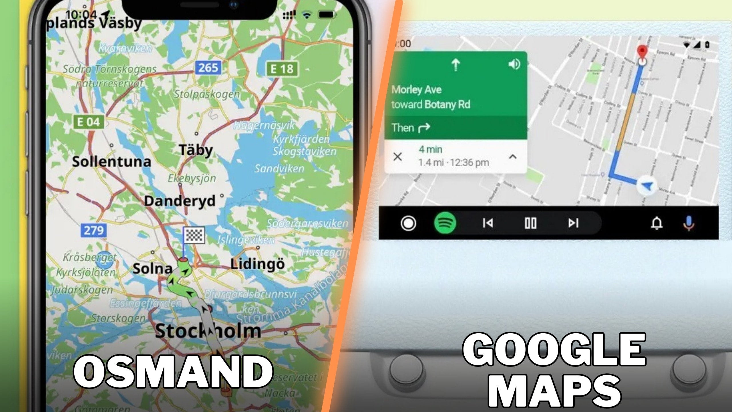
Chances are you’ve already come across OsmY if you were looking for an alternative to Google Maps, as the app is one of the most advanced free navigation solutions currently on the market. In addition to its impressive range of features, OsmAnd also receives frequent updates, and compared to Google Maps, whose main focus is on subtle improvements that are not even worth mentioning in the change logs, the app receives major improvements.
Version 4.7 is now available in the App Store with big changes.
The new version of OsmAnd includes a wide range of changes that users who are only interested in a simple browsing experience would not be interested in. To be fair, OsmAnd is not just a normal navigation app, as it offers significantly more advanced capabilities that professional users will love.
For example, version 4.7 includes improved management of visible tracks on the map, with two new sections now available (visible and all). Paying users also get 3D visualization of altitude-based tracks.

The update includes new widgets you can add to your navigation interface, including sun position and glide ratio. You can find them in Menu > Display Settings > Widgets on your iPhone.
You should read the full changelog if you’re a tech-savvy user (I’ve embedded it in the box after the jump) because it includes many other changes that significantly improve the OsmAnd experience on an iPhone.
The update also brings a small benefit for CarPlay users. Starting with version 4.7, OsmAnd can display detailed information about roundabouts during navigation in CarPlay, and the app supports exit numbers. This is a small but essential improvement, as navigation around roundabouts is now more comfortable, especially on unfamiliar routes.
OsmAnd remains a super advanced navigation solution that offers impressive tools for route planning and recording.
GPX tracking integration is one of the features that most users love as they can plot a route point by point, record it with GPX tracks, and share them on OpenStreetMaps.
Compared to Google Maps, OsmAnd also offers an improved navigation experience that not only sends you to your destination via the fastest route.
The app also takes into account more information, such as vehicle dimensions, so you could use it for larger vehicles. GPX tracking integration and additional terrain information allow you to see road grades and other data, so the planning phase is significantly improved.
The GPS navigation interface is fully customizable and the integration of new widgets with each update gives users more customization power.
They can see important details, such as distance, speed, and remaining travel time, but also more advanced information that is useful for professional drivers, such as the position of the sun (after installing the new update I told you about today.
Keynote USA News
For Latest Apple News. Follow @Keynote USA News on Twitter Or Google News.


